My Third SOTA Activation- Castle Hill VK4/NH-136

IMG_0157
Icom IC703 in backpack. Linked dipole in a small tree.
IMG_0156
View from the summit almost straight down
IMG_0155
World War II pillbox
IMG_0153
Operating position
IMG_0152
Lovely morning
IMG_0150
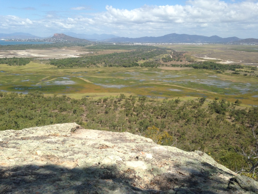
Looking towards Cape Pallarenda
IMG_0149
Don’t worry about him
IMG_0148
Nice operating desk

I had planned to arrive at 5 am but I was pretty tired after my very late finish at Mt Marlow yesterday and the 16 kilometres I had walked. I managed to get to the summit of Castle HIll at about 630 am and was set up about 3 minutes later. Castle Hill is in the centre of the city and is the place for the young urban professional to exercise. Hundred of walkers, runners and cyclist will be encountered on the road and on the walking tracks. I drove to the bottom car park area near the old Panorama restaurant and then walked to the summit. I made quite a few contacts on 80m but nothing at all on 40m CW. Conditions very poor at present due to solar flare and CME.

My Second SOTA Activation- Mt Marlow VK4/NH-154

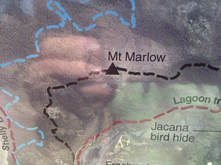
I thought Mt Marlow would be a really easy hike, but it turned out to be moderately difficult given my present lack of fitness. I started at the Pallareda at the beachside park and walked in to the start of the Many Peaks track. This track is 5.7km long. My return journey was down to the  south and back along the lagoon track. I left the beach at 1130 and arrived at the peak at about 1240. I departed the hill top at 1700 and arrived back at the beach after 1840 in the dark. I am a local and I got caught out, so visitors from overseas should be warned about how quickly the sun sets at these latitudes.

I worked quite a few stations on SSB and two on 40m CW for a successful SOTA activation

Track Details below-

Distance: 5.7 km one-way
Time: allow 3 hrs walking time (one-way)

Starting at the western end, or 450 m along the eastern end of the Lagoon trail, this challenging walk across Many Peaks Range leads to the summit of Mount Marlow, before descending through vine thickets and woodland towards the wetlands below. The walk has spectacular views over the Town Common wetlands and along the coastline from the Palm Islands in the north to Cape Cleveland in the south. Some sections of the trail are very steep and there are many steps. In some areas the trail can be indistinct and walkers must follow the orange trail markers. Walkers may return on the same trail or via the Lagoon trail.

Distance: 4.6 km one-way
Time: allow 2 hrs walking time (one-way)

Walkers and mountain bike riders share this trail.

Starting at the intersection of Freshwater and Shelly Beach trails or opposite Walter Nesbit Park at the end of Cape Pallarenda Road, this trail follows the edge of Freshwater Lagoon at the southern base of Many Peaks Range. The trail can become boggy after wet weather. Trail users can return the way they came or can walk the Many Peaks track or ride the Under the Radar trail to complete a loop.

IMG_0106
The start of the trail at Pallarenda
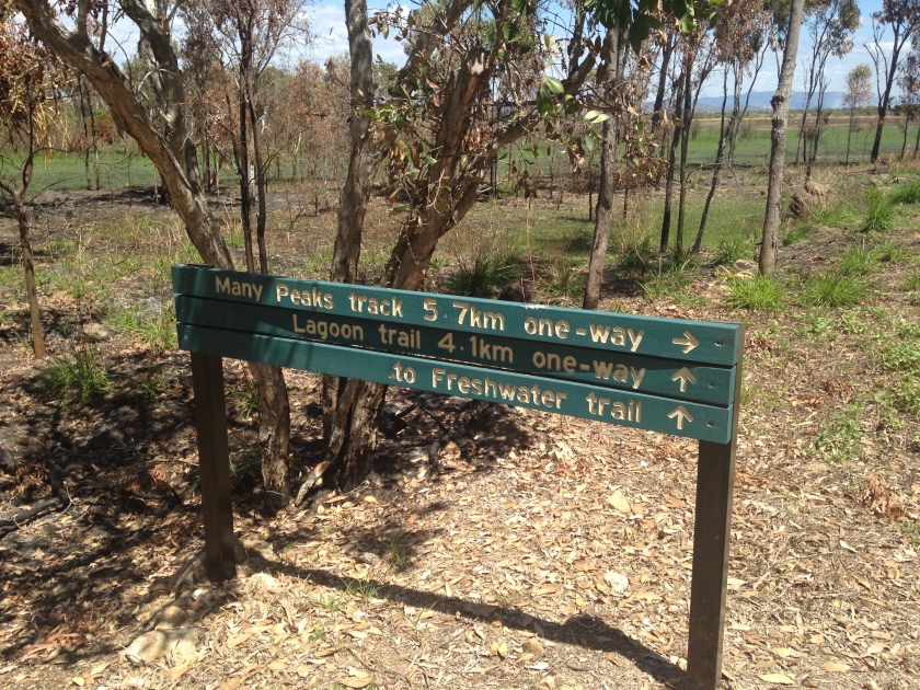
IMG_0104
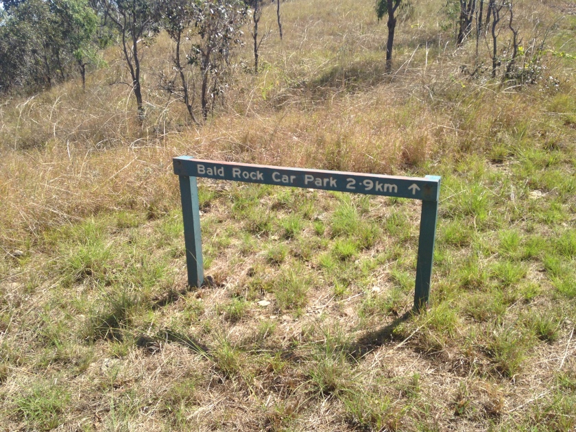
Signage at start
IMG_0109
Going right is the moderately difficult track. I used this one on the way up. If you prefer you can walk on flat ground to the southern end of the mountain and take an easier route up
IMG_0110
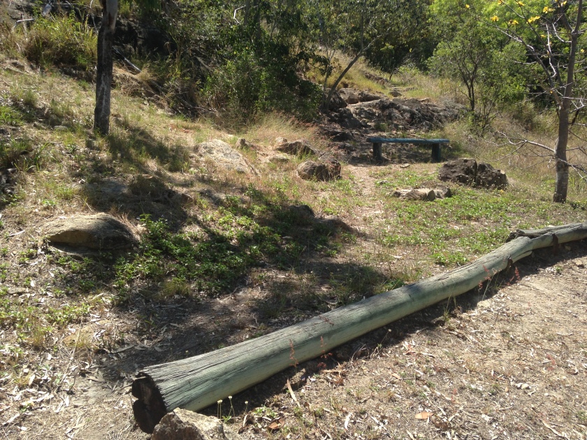
Start of the Many Peaks Track
IMG_0114
Pretty easy going at first
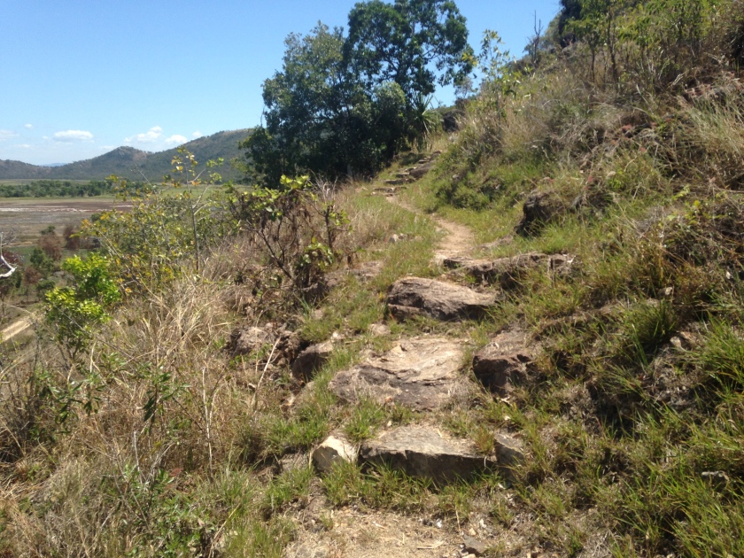
IMG_0115
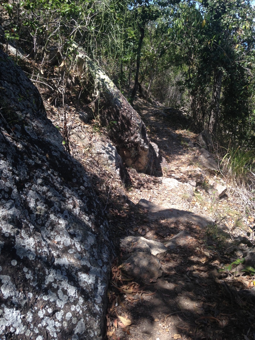
A great deal of the track is like this only more boulders and rubble underfoot. It is well shaded most of the way.
IMG_0111
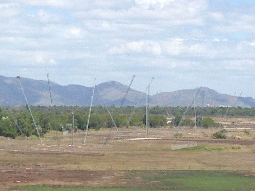
IPS Antennas?
IMG_0108
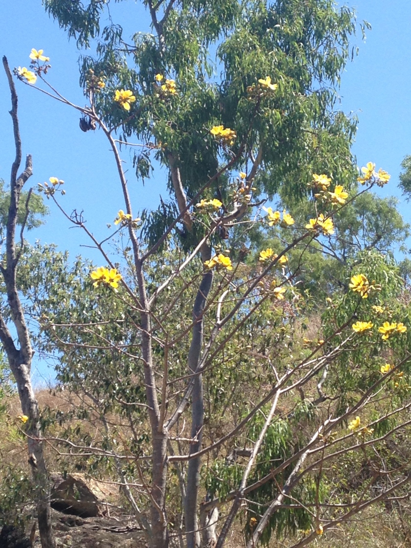
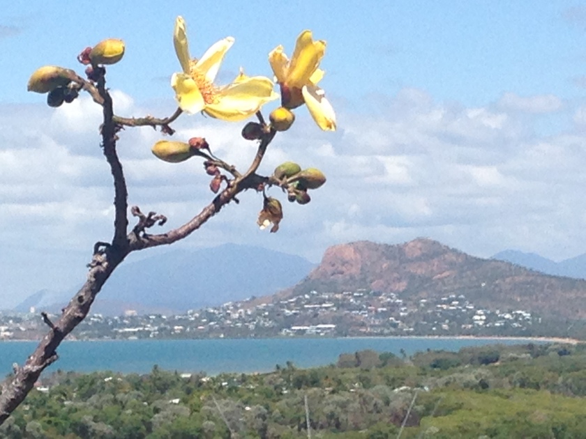
Kapok in flower
IMG_0116
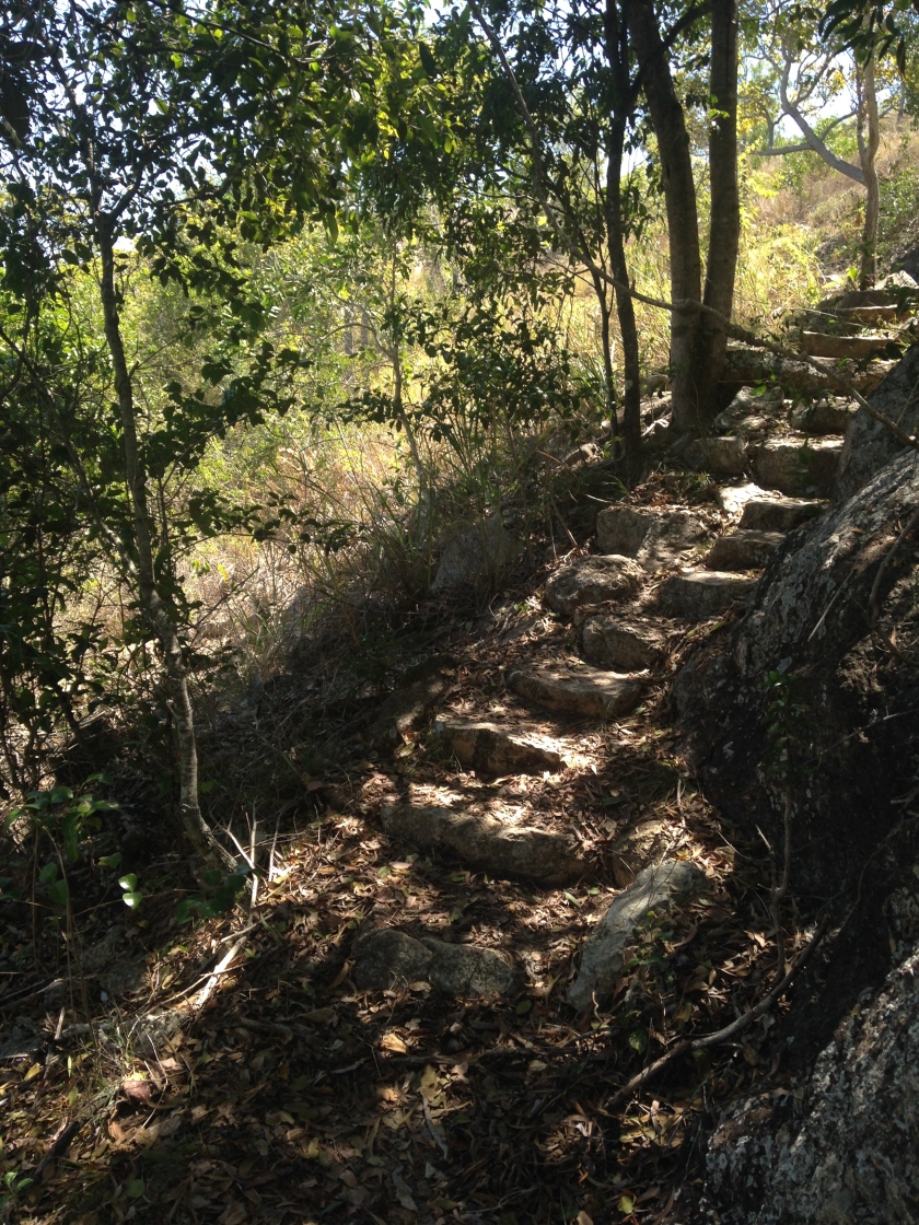
Shady steps early on in the track
IMG_0117
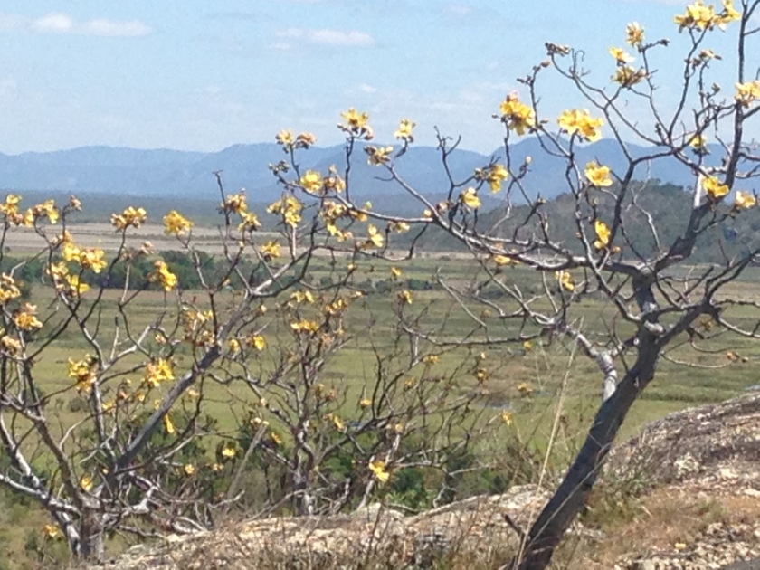
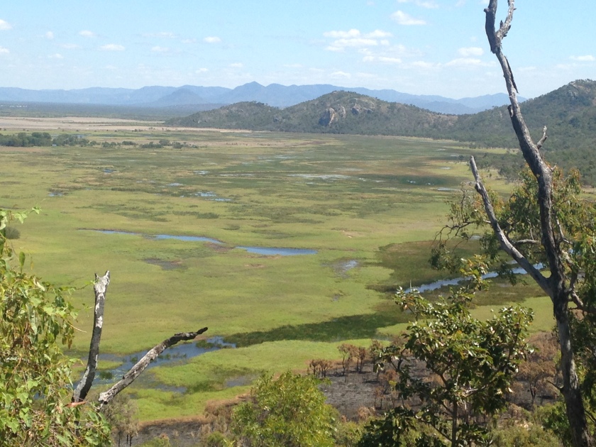
Kapok trees and a view of the wetlands
IMG_0119
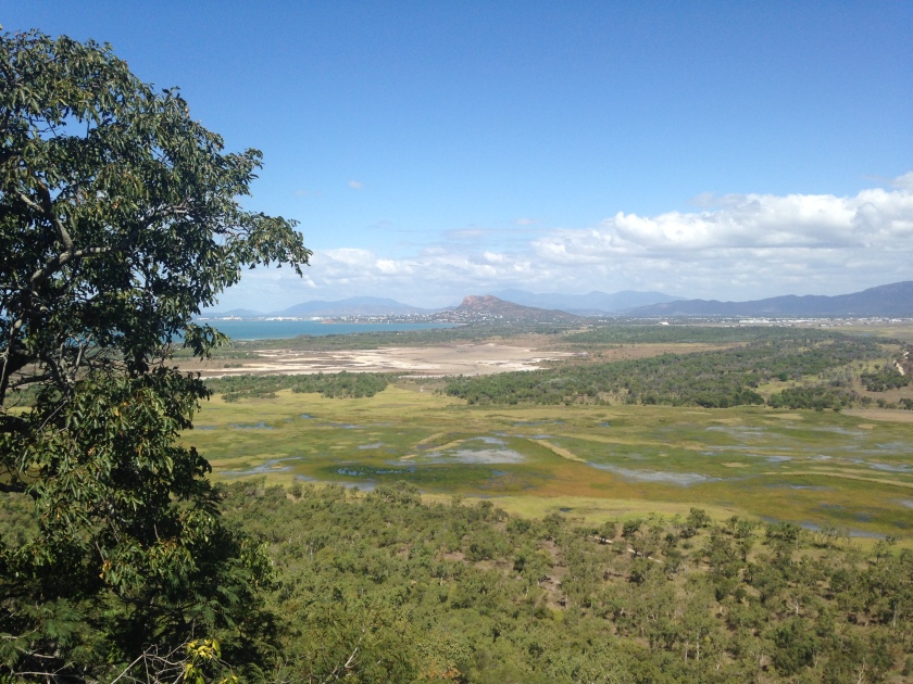
This is why I do SOTA. What a view
IMG_0120
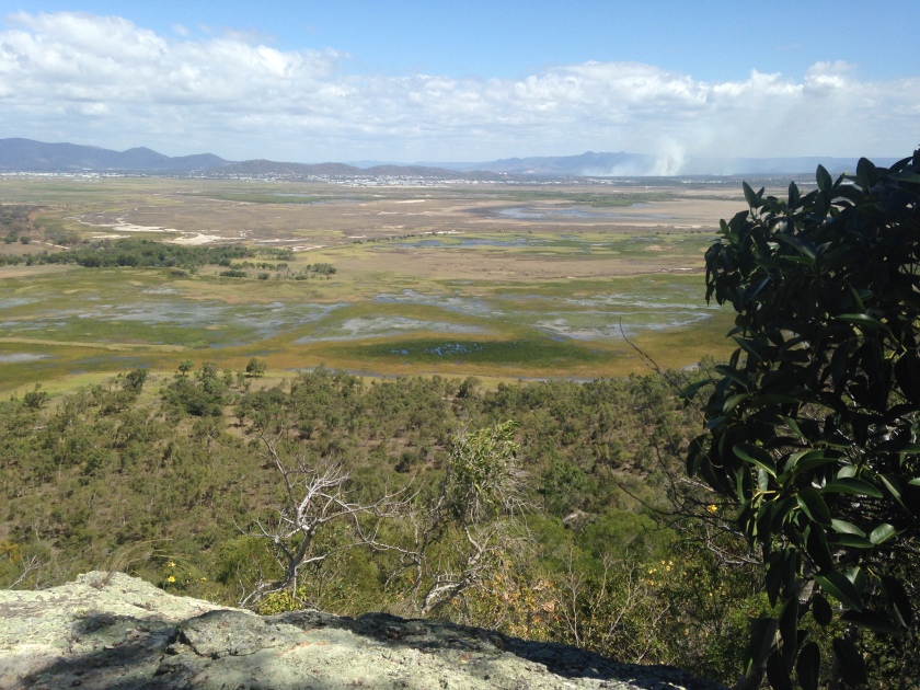
Wetlands
IMG_0121
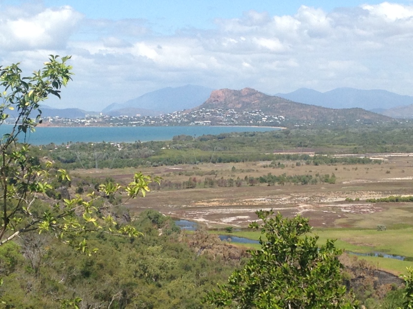
View of Castle Hill VK/NH-136
IMG_0123
Getting higher and the views is still great
IMG_0128
A great place for a rest
IMG_0130
Fire in the distance and the 6 point summit of South Pinnacle – next week’s SOTA for me
IMG_0131
Beginning to open up
IMG_0132
The summit is ahead
IMG_0133
The quick way up and down is this way
IMG_0134
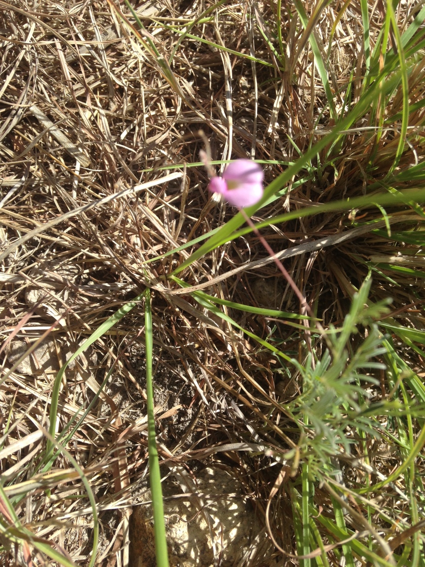
Swainsona sp.?
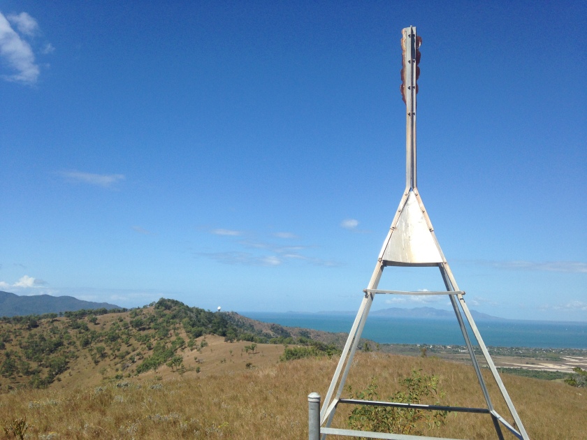
IMG_0135
The Trig
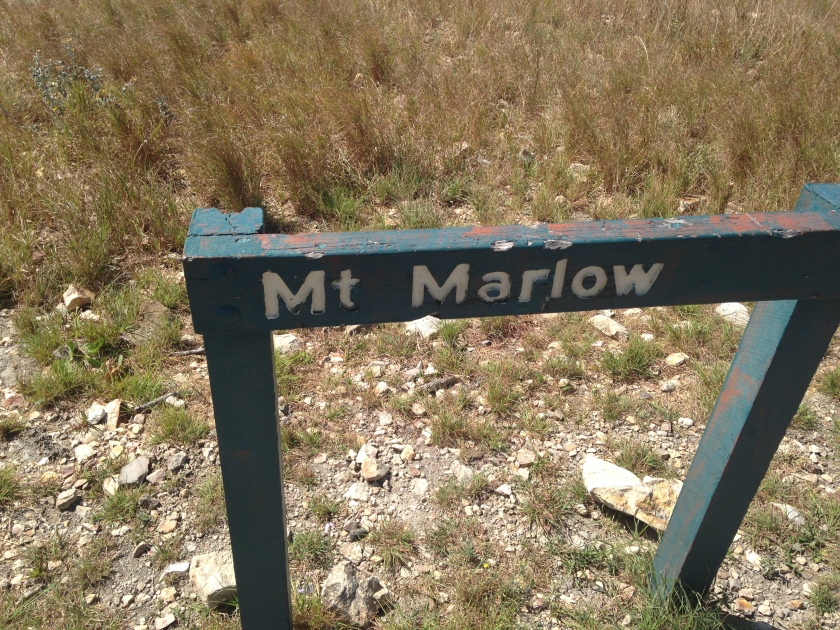
IMG_0138
This is the real name of the summit
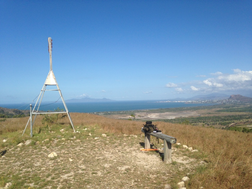
IMG_0141
My operating position. Dipole slug from trig
IMG_0142
Shack with a view, but no shade.
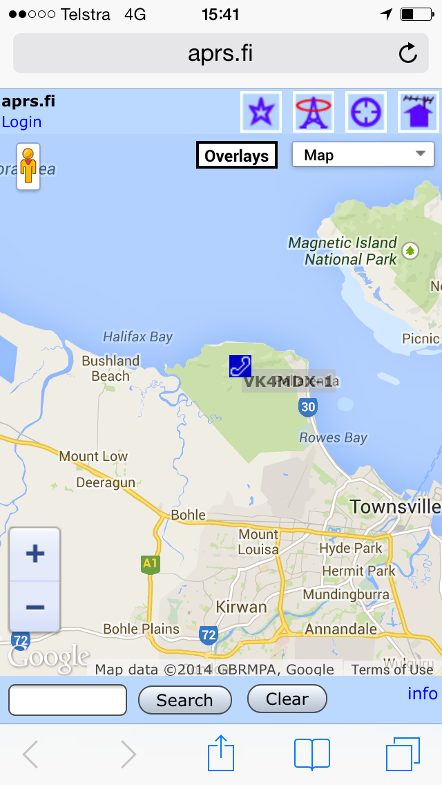
IMG_0144
My APRS via iPhone

SOTA Planning VK4/NH-027 South Pinnacle 13 and 14 Sept 2014

Date changed for 20/21

Travel plans
4WD to car park at -19.376507° 146.625356°.
Depart Car park -19.376507° 146.625356° at 0800 Saturday 20 Sept (local). Allow 5 hours to get to South Pinnacle on foot via Fredrick Peak and Hidden Pinnacles. Camp just adjacent South Pinnacle.

Weather may be an issue and may have to move it Friday / Saturday if 14 day forecast holds. Stay tuned.

Participant 1
Radio Equipment
Icom IC703
Outbacker Stealth Vertical with 50ft counterpoise
Linked dipole
Chez Key
Small solar panel flexible
Gell Cell
NiMH Battery packs
Wouxon 8D HT

Camping
Lightweight one man Bivi
Spleeping mat
Trangia stove
LED lights

Emergency
Cell phone
Sat phone
SPOT GPS Messenger
Light First aid kit

Screen Shot 2014-09-09 at 12.43.26 pm

Looking for a companion able to undertake this climb preferably with radio gear as well.

Screen Shot 2014-09-09 at 12.32.04 pm

SOTA Planned Activation Mt Stuart VK4/NH-057 28 September 2014

will be activating some one point
summits at times to correspond with local nets, hopefully I can score RST
from 4 of you at least and return the favour without disrupting the net.

Plans (local time)

Friday 0500 to 0700 CW and SSB from Mt Stuart
Saturday 0500 to 0700 CW and SSB from Castle Hill
Saturday 1400 to 1700 CW and SSB from Cape Pallarenda

details at http://www.sotawatch.org/alerts.php

Equipment will be Icom IC703 in backpack, Outbacker Stealth with 50 ft
counterpoise, possibly a linked dipole on trial, Czech key.

Preparing for My First SOTA Expedition

Back in 2008, when I got my foundation call- VK4FOLO- I purchased an Icom IC703 because, even then I had ideas about working backpack mobile and QRP.   The 703 came with a backpack, as a special offer. I wanted to purchase the ICOM backpack antenna then as well, but figured I could do that some time down the track. Now many years later, I am finally going to use the backpack, but the antenna designed for it is no longer available. So today, I set about rigging up something that would work for both pedestrian mobile and SOTA (Summits on the Air). I began by dusting off the IC703’s backpack, which had remained under a bed in the spare room. I then charged up a gell-cell that I had set aside for this purpose some years ago, then tried to come up with a workable antenna. I knew I could fashion a wire antenna, and that it would probably be far superior to a small vertical on the backpack, but I really liked the idea of being quite mobile. I had a Terlin Outbacker Stealth Ultra Antenna for which I had some time ago lost the wander lead. I began by fashioning a wander lead, then removed the heavy spring base to lighten the antenna,  I fashioned an aluminium square section to hold the antenna just at the top of the backpack. Unfortunately, the antenna was not happy to tune with the length of the spring base removed, and the spring base provided an SO230 so I went back to using the spring base, which due to its weight actually serves to hold the antenna in the backpack quite well.

Image

Above is the backpack dusted off.

Image

My first attempt at using the Terlin Stealth Ultra

Image

The finished backpack setup