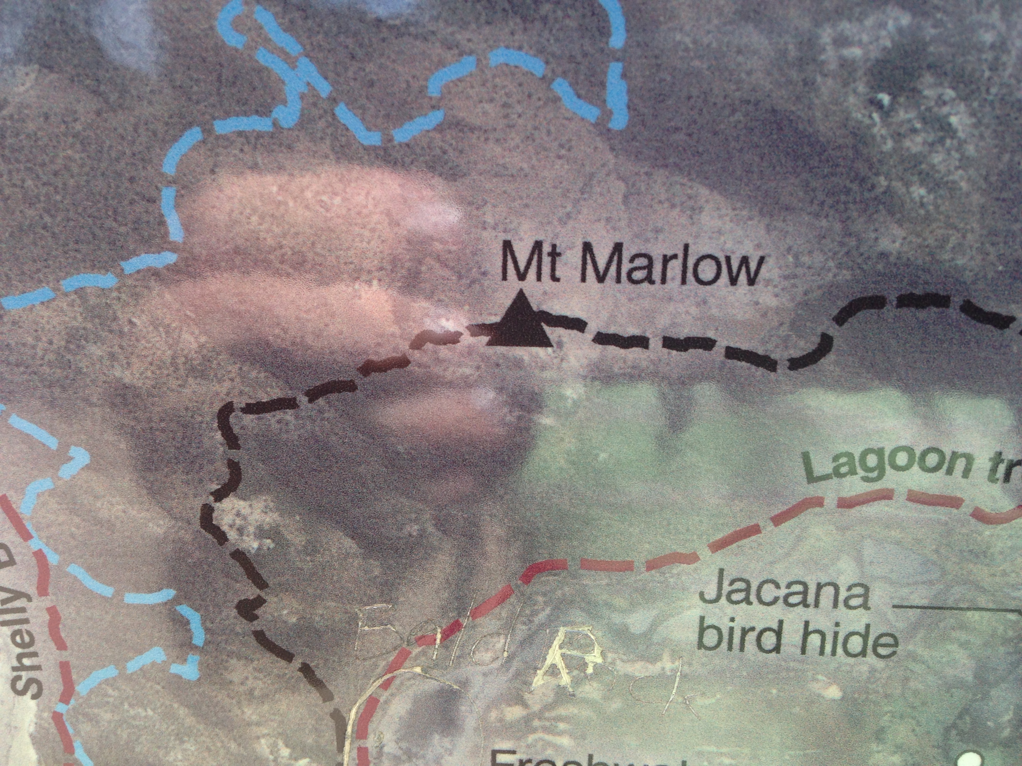
I thought Mt Marlow would be a really easy hike, but it turned out to be moderately difficult given my present lack of fitness. I started at the Pallareda at the beachside park and walked in to the start of the Many Peaks track. This track is 5.7km long. My return journey was down to the south and back along the lagoon track. I left the beach at 1130 and arrived at the peak at about 1240. I departed the hill top at 1700 and arrived back at the beach after 1840 in the dark. I am a local and I got caught out, so visitors from overseas should be warned about how quickly the sun sets at these latitudes.
I worked quite a few stations on SSB and two on 40m CW for a successful SOTA activation
Track Details below-
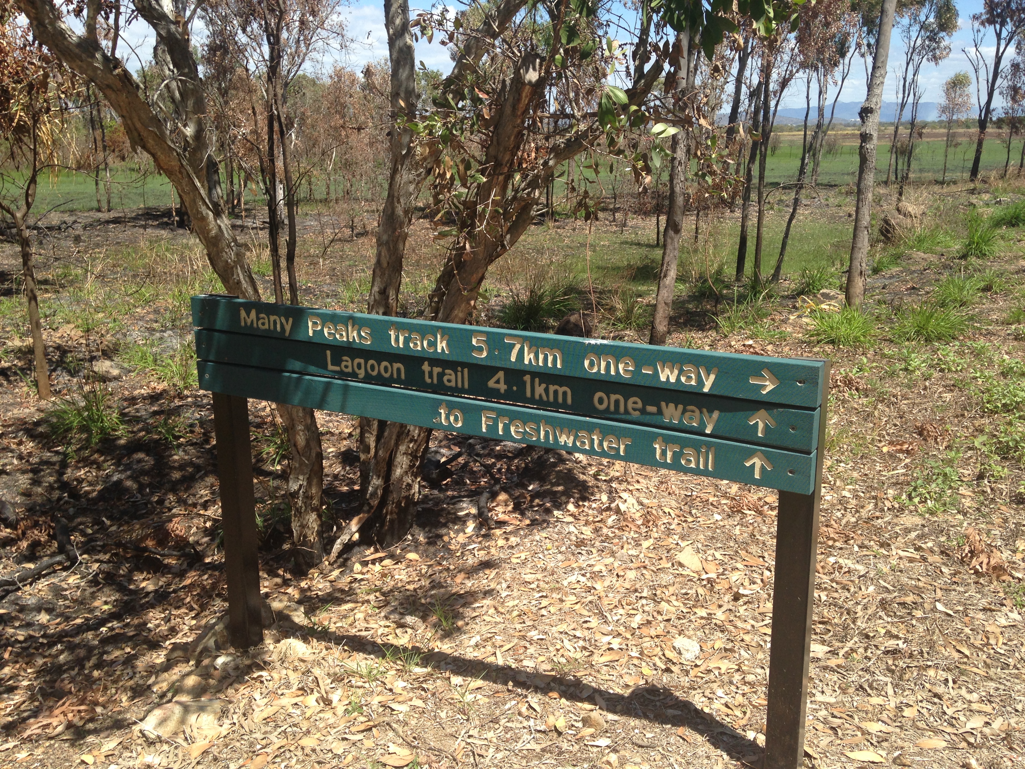
Distance: 5.7 km one-way
Time: allow 3 hrs walking time (one-way)
Starting at the western end, or 450 m along the eastern end of the Lagoon trail, this challenging walk across Many Peaks Range leads to the summit of Mount Marlow, before descending through vine thickets and woodland towards the wetlands below. The walk has spectacular views over the Town Common wetlands and along the coastline from the Palm Islands in the north to Cape Cleveland in the south. Some sections of the trail are very steep and there are many steps. In some areas the trail can be indistinct and walkers must follow the orange trail markers. Walkers may return on the same trail or via the Lagoon trail.
Distance: 4.6 km one-way
Time: allow 2 hrs walking time (one-way)
Walkers and mountain bike riders share this trail.
Starting at the intersection of Freshwater and Shelly Beach trails or opposite Walter Nesbit Park at the end of Cape Pallarenda Road, this trail follows the edge of Freshwater Lagoon at the southern base of Many Peaks Range. The trail can become boggy after wet weather. Trail users can return the way they came or can walk the Many Peaks track or ride the Under the Radar trail to complete a loop.